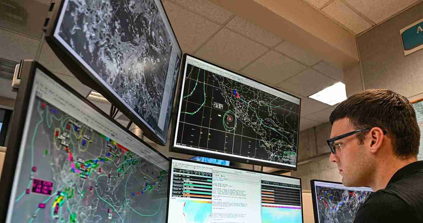
NOAA Forecasts Below‑Average 2026 Atlantic Hurricane Season as Strong El Niño Looms — What That Means for Utah
NOAA forecasts a below‑normal 2026 Atlantic hurricane season with 8–14 named storms, driven mainly by a developing El Niño that is expected to suppress storm formation, though unusually warm Atlantic waters add uncertainty, and experts urge preparedness.
- NOAA predicts a below‑normal season with a 55% chance of below‑normal activity — see the NOAA Climate Prediction Center.
- Forecast ranges center on 8–14 named storms, 3–6 hurricanes and 1–3 major hurricanes (70% probability) — forecast details.
- El Niño is expected to suppress Atlantic activity, likely outweighing warm Atlantic sea surface temperatures — analysis from NOAA and media coverage from Fox Weather.
- Utah impacts: a stronger El Niño could mean wetter winters, improved snowpack and reservoir levels — but also heightened flood and mudslide risk in some areas.
NOAA’s 2026 outlook: numbers and probabilities
NOAA’s official outlook centers on below‑average activity for the Atlantic basin. The agency assigns a 55% chance the season will be below normal, with ranges of 8–14 named storms, 3–6 hurricanes and 1–3 major (Category 3+) hurricanes. These ranges are presented by the NOAA Climate Prediction Center and compare with long‑term averages of about 14 named storms, 7 hurricanes and 3 major hurricanes.
Accumulated Cyclone Energy (ACE) is given a probabilistic range of 45–115% of median, reflecting uncertainty about storm strength even if counts are lower. NOAA scientists presented the outlook in a video briefing.
Why El Niño is the deciding factor
The outlook reflects a clash between two influences: unusually warm Atlantic sea surface temperatures (which favor more storms) and a developing El Niño in the Pacific (which tends to suppress Atlantic activity). NOAA and other forecasters point to the emerging El Niño as the primary suppressing factor — see analysis from NOAA and reporting at Fox Weather.
El Niño is the warm phase of the El Niño–Southern Oscillation (ENSO). When present, warmer waters in the central and eastern tropical Pacific alter atmospheric circulation, typically strengthening upper‑level winds over the tropical Atlantic and increasing vertical wind shear — a pattern that tears apart growing storms and makes it harder for hurricanes to form and intensify. For background, see NOAA Climate.gov ENSO and the National Weather Service ENSO explanation.
NOAA’s May outlook gives a very high chance that El Niño conditions will be in place during the core of hurricane season (August–October) and indicates about an 81% chance that El Niño will be moderate or stronger by that period. Agency scientists expect El Niño to overcome the fuel normally supplied by warm Atlantic waters and thus reduce overall Atlantic hurricane activity.
CSU and other independent forecasts
Colorado State University’s April outlook is broadly consistent with NOAA and sits near the upper end of NOAA’s ranges: 13 named storms, 6 hurricanes and 2 major hurricanes. CSU researchers noted a likely “Super El Niño” influence. See coverage of the CSU outlook at Fox Weather.
What “below‑normal” does — and does not — mean
NOAA and CSU both caution that a quieter season in total numbers does not guarantee reduced risk for coastal or inland communities. A single landfalling storm can cause enormous damage — historical analogs show major landfalling hurricanes can occur during below‑average seasons.
“Fewer storms overall does not equal no storms — preparedness remains essential,” agency scientists stressed.
Key risk notes from forecasters:
- Homegrown storms: El Niño tends to suppress long‑track storms off Africa, but shorter‑lived, nearshore systems can still form in the northern Gulf of Mexico or near the Southeast coast, offering less lead time.
- Timing matters: Exactly when El Niño strengthens will affect which part of the season is suppressed; a late peak could leave early season activity less affected.
- Uncertainty remains: Forecasts give ranges and probabilities, not exact counts. Shorter‑term patterns like the Madden–Julian Oscillation can create windows favorable for storm activity even in El Niño years.
ENSO background: quick primer
ENSO has three phases: El Niño (warmer central/eastern tropical Pacific), La Niña (cooler) and ENSO‑neutral (near average). El Niño is defined by persistent positive SST anomalies in the Niño‑3.4 region and characteristic atmospheric changes; those conditions alter global weather patterns. For a primer, see NOAA Climate.gov ENSO and NOAA Ocean Service El Niño/La Niña facts.
In the U.S., El Niño commonly shifts the Pacific jet stream and often brings wetter conditions to parts of the southern U.S. while tending to produce drier conditions in the Pacific Northwest and northern plains. It also tends to enhance activity in the Central and Eastern Pacific hurricane basins.
Practical implications and what to watch next
NOAA and CSU recommend continued vigilance despite lower statistical counts. For emergency planners, insurers and property owners, the takeaway is clear: fewer total storms do not mean no storms.
What officials and the public should monitor:
- ENSO strength and timing: Will El Niño reach moderate or strong levels by mid‑summer? Monitor updates from the NOAA Climate Prediction Center.
- Atlantic sea surface temperatures: Will above‑average Atlantic warmth persist or increase? See the NOAA outlook.
- Short‑term cycles: The Madden–Julian Oscillation and other intraseasonal patterns can create active weeks even in suppressed seasons.
Implications for Utah
Though Utah is inland, the NOAA 2026 outlook and the developing El Niño still carry local consequences worth tracking. State and local planners should balance optimism about improved water supplies with caution about storm impacts and infrastructure stresses.
Water and snowpack
El Niño typically brings a stronger Pacific jet stream and increased chances of precipitation across the U.S. Southwest during winter. For Utah, that can mean better snowpack in the mountains and improved reservoir levels — a boon for farmers, cities and the ski economy.
Flood and mudslide risk
Heavier winter and spring precipitation can raise flood risk in low‑lying areas and increase post‑fire mudslide danger on burn scars. Local governments and homeowners should review flood plans, clear drainage channels and consider flood insurance where appropriate.
Infrastructure and budgets
A wetter winter may ease some water scarcity pressures but can strain roads and bridges during intense storms. Officials should budget for potential flood mitigation and repairs via targeted investments in levees, culverts and early warning systems.
Wildfire season and air quality
An El Niño winter could help reduce wildfire risk by increasing winter moisture, improving spring vegetation conditions. However, variability is high; dry spells can still worsen fire risk, so continued investment in prevention remains prudent.
Economic and community impacts
Stronger snowpack benefits Utah’s $1.6 billion ski and winter tourism sector, supports municipal water supplies and helps farmers. At the same time, sudden heavy rains can disrupt transport and supply chains. Homeowners should confirm insurance coverage, and local emergency managers should refresh public messaging.
Personal preparedness
Utah residents should keep basic emergency supplies handy, check flood‑insurance options, and secure property that could be affected by heavy rains or strong winds. Even if the Atlantic is quieter, Southern and Central Pacific storm activity can increase and sometimes influence weather across the West. Stay informed and have a plan.
Sources and further reading
- NOAA Climate Prediction Center 2026 Atlantic Hurricane Outlook
- NOAA ENSO and El Niño background
- NOAA Ocean Service El Niño/La Niña facts
- National Weather Service ENSO and hurricanes explanation
- Colorado State University and media coverage of 2026 forecasts (Fox Weather)
- NOAA video briefing
What to watch this season: ENSO updates, Atlantic SST trends and week‑to‑week convective patterns. Officials will update forecasts through the summer as ocean and atmosphere signals evolve; maintain preparedness and monitor official sources.